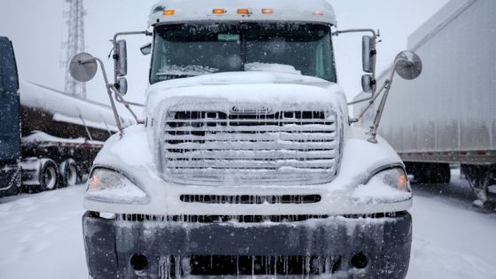
Winter storms are set to impact the eastern united states, bringing hazardous conditions from Missouri to Maine. The first storm is expected to unleash a mix of sleet, freezing rain, and snow starting Wednesday evening and continuing into Thursday.
- Winter storms impacting eastern US for weeks
- Jet stream directing storms from west to east
- First storm brings hazardous ice conditions
- Major ice accumulation expected in Pennsylvania
- Next storm forecasted to arrive Saturday
- Additional storms predicted for following week
The current weather pattern features a strong jet stream directing multiple winter storms through the Midwest and Northeast. This system is expected to persist for several weeks, with new storms arriving every few days until at least mid-February. The first storm began forming over the central Mississippi Valley on Wednesday afternoon, leading to slick conditions across a vast area.
This initial storm is projected to produce wintry precipitation over more than 1,000 miles of territory. Key areas affected include:
- Missouri
- Indiana
- Pennsylvania
- New York
- Maine
The primary threat from this storm includes hazardous ice accumulation that could lead to power outages and dangerous road conditions. Forecasts indicate that regions stretching from northern Indiana into central Pennsylvania may experience significant icing, with some areas receiving more than 0.25 inches of ice.
As warmer air moves in behind this system on Thursday, it may help alleviate some icy conditions; however, another storm is likely to develop in the Plains by late Friday. This upcoming system could bring similar challenges with a mix of precipitation types affecting many of the same regions impacted by this week’s storm.
The ongoing active weather pattern suggests that residents in the eastern U.S. should prepare for continued disruptions due to winter storms throughout February.


