Northern Australia is preparing for the impact of Cyclone Zelia, which has been upgraded to a Category 5 storm. Expected to hit the Pilbara Coast on Friday, the cyclone is forecast to bring destructive winds of up to 180 miles per hour and heavy rainfall, prompting significant safety warnings for residents along the coast.
- Category 5 tropical cyclone Zelia approaching Australia
- Winds expected up to 180 miles per hour
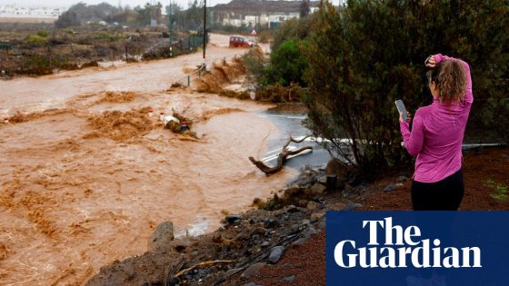
- Heavy rainfall may cause flash flooding
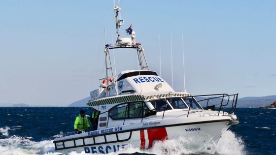
- Evacuation centers opened for residents
- Highway closures due to dangerous conditions
- Landfall may be delayed until Saturday
Cyclone Zelia, currently 90 miles north of Port Hedland, is intensifying and is expected to impact coastal areas between De Grey and Karratha. The Bureau of Meteorology (BOM) has issued warnings about severe weather conditions, including wind gusts reaching up to 180 miles per hour near the cyclone’s center. Heavy rainfall is also anticipated, raising concerns about flash flooding in both coastal and inland regions.
Key details include:
- Winds of up to 130 miles per hour are expected as the cyclone approaches.
- Evacuation centers have been opened for residents needing shelter.
- Highway closures are already in effect due to dangerous conditions.
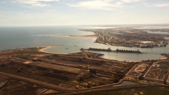
As Zelia moves slowly at less than 3 miles per hour, its landfall may be delayed until Saturday. The cyclone poses a significant threat to lives and property, with authorities urging residents in affected areas to take immediate safety precautions. The ports of Dampier and Varanus Island have also been closed in anticipation of the storm’s impact.
In summary, Cyclone Zelia is poised to bring dangerous weather conditions to Northern Australia, with authorities stressing the importance of preparedness and safety as the storm approaches.