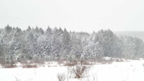
Central New York is bracing for a significant winter weather event on Sunday evening, February 17, 2025. A flash freeze is expected to create hazardous conditions on untreated surfaces, making roads and walkways dangerous through Monday morning.
- Flash freeze expected Sunday evening.
- Winds gusting 30-50 MPH, possible outages.
- Lake effect snow forecasted Monday morning.
- Heavy snow bands likely in Oswego area.
- Total snowfall could reach 12-24 inches.
- Weather conditions may change rapidly.
Winds are forecasted to gust between 30-50 MPH, with higher elevations potentially experiencing gusts up to 60 MPH. This storm system will bring a combination of snow and lake-effect snow, leading to substantial accumulations in certain areas.
The upcoming weather system will result in wind chills dropping into the single digits and possibly below zero by dawn on Monday. The National Weather Service has issued warnings for power outages due to falling tree branches and ice accumulation on power lines exacerbated by high winds.
Snowfall predictions indicate that most areas could see between 1-6 inches from Sunday night through Monday evening, with localized bands producing up to 12 inches or more in some regions. Key snowfall estimates include:
- 1-3 inches: General area
- 3-6 inches: Higher accumulation zones
- 6-12+ inches: Areas under intense lake-effect snow bands
The situation will persist into Tuesday, where additional heavy lake-effect snow is anticipated along the Route 49 corridor, particularly affecting southern Oswego and central Oneida counties. Forecasts suggest another potential accumulation of over a foot of snow within these bands before tapering off slightly Tuesday night.
This winter storm poses risks not only from travel hazards but also from potential power outages as winds continue to impact the region throughout the event. Residents are advised to stay informed about changing weather conditions as forecasts may adjust based on real-time developments.
This winter storm presents serious challenges for Central New York as it unfolds through early next week. With significant snowfall expected alongside high winds, residents should remain vigilant and plan accordingly for hazardous conditions both on the road and at home.