St. Louis is preparing for a significant winter storm that is expected to bring nearly a foot of snow to the area this week. The incoming arctic air will contribute to increased snow accumulation, with a winter storm watch set to begin shortly after midnight on Tuesday.
- Colder temperatures increase snow accumulation.
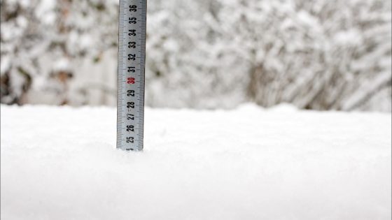
- St. Louis expects nearly a foot of snow.
- Winter storm watch begins after midnight Tuesday.
- Dry snow is less dense and easier to shovel.
- 1 inch of water equals 20 inches of snow.
- Forecast predicts 4 to 10 inches of snow.
The upcoming winter storm in St. Louis will result in varying amounts of snowfall across the region, primarily influenced by temperature and moisture levels. Meteorologists anticipate that areas south of St. Louis may experience even higher totals than the expected 4 to 10 inches of snow. The precipitation forecast indicates about half an inch of moisture over the two-day period.
Snowfall characteristics are determined by whether it is classified as “dry” or “wet.” Dry snow typically contains less water per inch, resulting in lighter, fluffier flakes that accumulate more easily without sticking to surfaces like trees or power lines. For example, under normal conditions, 1 inch of water yields approximately 10 inches of snow; however, during this storm, it could produce close to 20 inches due to colder temperatures.
- Winter storm watch begins shortly after midnight on Tuesday.
- Forecasted snowfall: 4-10 inches across most regions.
- Areas south of St. Louis may see additional accumulation.
This weather system poses potential challenges for residents and local infrastructure as heavy snowfall can lead to hazardous driving conditions and possible power outages if wet snow accumulates on lines despite being predominantly dry this time around. Residents are advised to prepare accordingly for these conditions as they develop throughout the week.
The impending winter storm in St. Louis highlights the impact of arctic air on snowfall rates and characteristics. As residents brace for potentially heavy accumulations, understanding the differences between dry and wet snow becomes essential for preparation and safety measures during this significant weather event.