Severe storms are impacting Iowa today, March 15, 2025, with damaging winds expected throughout the afternoon and evening. A Weather Alert has been issued as temperatures soared to near record highs of 78°F before a significant cooldown is anticipated over the weekend.
- Strong storms expected Friday afternoon.
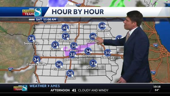
- Weekend cooldown with low 40s temperatures.
- Windy conditions will persist through Saturday.
- Warmup to low 70s by Monday.
- Potential for accumulating snow Wednesday.
- Des Moines forecast includes thunderstorms today.
The weather in Iowa has taken a drastic turn this week. After enjoying unseasonably warm temperatures on Friday, residents are now bracing for strong storms accompanied by high winds. The National Weather Service has warned that gusts could reach up to 50 mph in some areas. This sudden shift highlights the unpredictable nature of spring weather in the region.
As conditions evolve, Iowans can expect a significant drop in temperatures starting Saturday. Afternoon highs will only reach into the low 40s amidst windy conditions. Wind chill factors may make it feel even colder than actual temperatures suggest. By Sunday morning, wind chills are projected to dip into the single digits across northern parts of the state.
- Friday’s high: 78°F
- Saturday’s expected high: Low 40s
- Sunday’s expected high: Low 50s
- Wind gusts: Up to 50 mph on Friday
A new weather system is set to arrive late Tuesday into Wednesday, bringing potential rain that may transition into snow. While exact snowfall totals remain uncertain at this time, forecasters advise residents to prepare for accumulating snow later next week.
Iowa’s current weather situation underscores the volatility of springtime conditions. As residents navigate through severe storms today and prepare for a notable temperature decline this weekend, they should stay informed about changing forecasts and safety recommendations from local authorities.