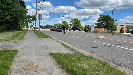
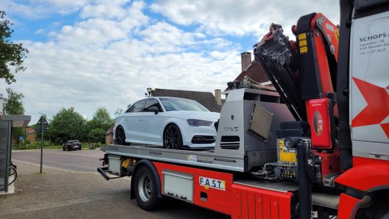
Severe thunderstorms struck parts of East and West Flanders and the Pajottenland region on Monday evening, bringing intense weather conditions to these Belgian areas. The storm included heavy rain, hailstones as large as marbles, and strong lightning, creating a dramatic scene for residents. This weather event unfolded after a warm summer day, with rain beginning to fall in Brussels and later intensifying in the affected provinces.
- Heavy thunderstorm hit East and West Flanders
- Hailstones reached size of marbles locally
- Supercell caused intense rain and hail
- Winds gusted up to 90 km/h
- No damage reported so far
- Storms have now moved away
According to reports from NoodweerBenelux and local weather stations, the storm was identified as a supercell, characterized by hail measuring 2 to 3 centimeters and wind gusts reaching up to 90 km/h. Despite the severity, no damage has been reported so far. By 2025-05-13 01:55:00, the storm had moved on, leaving behind a brief but powerful impression on the region.
What can Belgians expect next after such intense weather? And how prepared are local communities for sudden supercell storms? Let’s explore the key details and implications.
These intense thunderstorms raise questions about weather patterns and local readiness. Is this a sign of more frequent severe weather in Belgium? The event highlights several points:
- Supercell storms, though rare, can bring sudden, severe conditions including large hail and strong winds.
- Local weather monitoring and social media play crucial roles in real-time updates and warnings.
- Communities should remain vigilant during summer evenings when warm air meets unstable atmospheric conditions.
As the summer progresses, staying informed about weather updates is vital. Residents are encouraged to follow local forecasts and have plans in place for sudden storms to ensure safety and minimize potential damage.