Belgium is currently experiencing a notable heatwave, with temperatures soaring above 30°C in Ukkel as of 2025-08-14 20:06:00. This marks the second heatwave of the summer, defined by five consecutive days exceeding 25°C, including at least three days over 30°C. The first heatwave occurred from June 28 to July 2, setting the stage for this recent spike in temperatures.
- Define heatwave as five hot days
- Confirm second heatwave since June 28
- Predict temperatures drop below 25°C Sunday
- Note record temperature matched on Wednesday
- Forecast cooler nights below 20°C
- Warn possible thunderstorms mid-next week
The heatwave officially began Thursday afternoon when temperatures surpassed 30 degrees. Residents can expect the heat to persist until Sunday, when highs will finally dip below 25°C, ending the seven-day stretch of hot weather. But what does this mean for Belgians in the days to come?
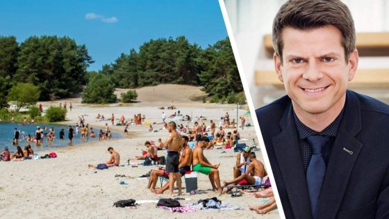
How will the weather evolve after this intense heatwave? Meteorologist David Dehenauw from the KMI forecasts a slight cooldown this weekend, with temperatures dropping to 23–24°C. However, early next week may see a brief return of warmer weather before another decline midweek. Nighttime temperatures will also improve, cooling below 20°C, which should provide some relief from recent sultry nights.
- No new daily temperature records are expected, though Wednesday matched a 1911 record of 32.1°C.
- Dry conditions will continue, with thunderstorms unlikely before midweek.
- Better nighttime cooling will ease discomfort during sleep.
As the heatwave winds down, Belgians can prepare for more comfortable weather. Will this trend of intense summer heatwaves continue? Staying informed on forecasts will help residents adapt and stay safe in the changing climate.