On February 21, 2025, a significant snowstorm is impacting the Front Range of Colorado, with heavy snowfall recorded since late Thursday afternoon. A First Alert Weather Day has been declared for Friday as the storm moves through the central Rockies.
- First Alert Weather Day on Friday
- Winter Storm Warning for West Jefferson County
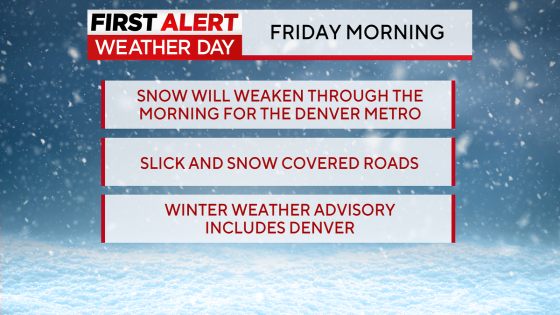
- Denver Metro area under Winter Weather Advisory
- Extremely cold temperatures with wind chills
- Snow totals vary across Douglas County
- Morning commute impacted by icy roads
The snowstorm has prompted a Winter Storm Warning for West Jefferson and Douglas Counties, where accumulations could reach between 12 to 18 inches. Meanwhile, a Winter Weather Advisory covers the Denver Metro area extending up to Boulder and down to Colorado Springs, anticipating snowfall of about 3 to 7 inches. In Castle Rock down to Monument Hill, totals are projected at 4 to 8 inches.
As temperatures remain very cold during this event, Denver is forecasted to drop into the low teens overnight. The Eastern Plains will experience even colder conditions with single-digit temperatures and wind chills dropping as low as -16°F through Friday morning. A cold weather advisory will be in effect during this period.
- Snow totals in Douglas County over the last 24 hours range from:
- 4 inches in Englewood
- Over 17 inches in Conifer
- An additional light snow accumulation of 1 inch to 3 inches is expected throughout mid-morning on Friday.
The morning commute may be hazardous due to icy and snow-packed roads; however, driving conditions are anticipated to improve by Friday afternoon as the storm tapers off and temperatures rise above freezing later in the day.
This ongoing winter storm poses significant challenges for travel and daily activities across Colorado’s Front Range. Residents are advised to stay informed about weather updates and take precautions when traveling during this time.