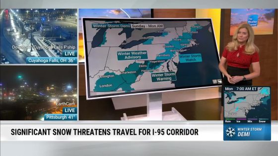
Residents in the northern Plains and Midwest are bracing for a powerful winter storm that is expected to hit this weekend. With blizzard conditions on the horizon, are you prepared for the extreme weather? This storm, set to begin Friday night, is generating significant concern as it brings strong winds, snow, and dangerously low temperatures.
- Residents facing powerful winter storm
- Blizzard conditions expected in northern Plains
- Wind gusts may exceed 70 mph
- Severe weather warnings issued for Upper Midwest
- Transition from rain to snow anticipated
- Potential for significant travel hazards
Severe Winter Storm Set to Impact Northern Plains and Midwest
Are you ready for the winter storm that could create blizzard conditions this weekend? Starting Friday night, a powerful low-pressure system will bring extreme winds and snow, making travel treacherous. Residents are urged to stay updated on weather warnings and prepare for possible power outages and road closures.
Blizzard Conditions and Wind Gusts Expected Across the Region
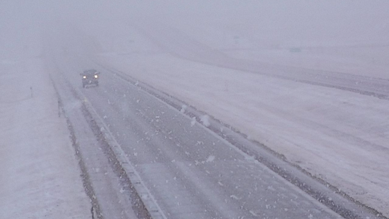
The impending winter storm is expected to generate blizzard conditions, particularly in the Red River Valley and western Michigan. Wind gusts may reach between 60-75 mph, causing whiteout conditions and making travel extremely hazardous. Here’s what you need to know:
- Blizzard warnings are in effect for multiple states.
- Travel on major highways like I-94 and I-29 may be severely impacted.
- Snowfall rates could reach 1-2 inches per hour.
- Power outages are possible due to high winds.
What to Expect: Snowfall and Wind Impacts
The FOX Forecast Center indicates that this storm could challenge low-pressure records, with winds strong enough to cause significant disruptions. As the storm intensifies, residents can expect:
- Heavy snowfall that may struggle to accumulate initially.
- Rapidly changing conditions from rain to snow.
- Blowing snow that will reduce visibility significantly.
Safety Tips for Weathering the Winter Storm
As the storm approaches, it’s crucial to prioritize safety. Here are some tips to help you prepare:
- Stay indoors and avoid unnecessary travel.
- Keep an emergency kit with food, water, and medication.
- Stay updated with local weather reports and alerts.
Stay safe and prepared as this winter storm unfolds. Make sure to check on neighbors and loved ones, especially those who may need assistance during severe weather.